Transforming Hydrology by Integrating Remote Sensing, Modeling, and Data Sciences
Wednesday, 26 June 2024 | 2:00pm – 3:30pm
Program uses Korean standard time and is 9 hours ahead of GMT (GMT+9)

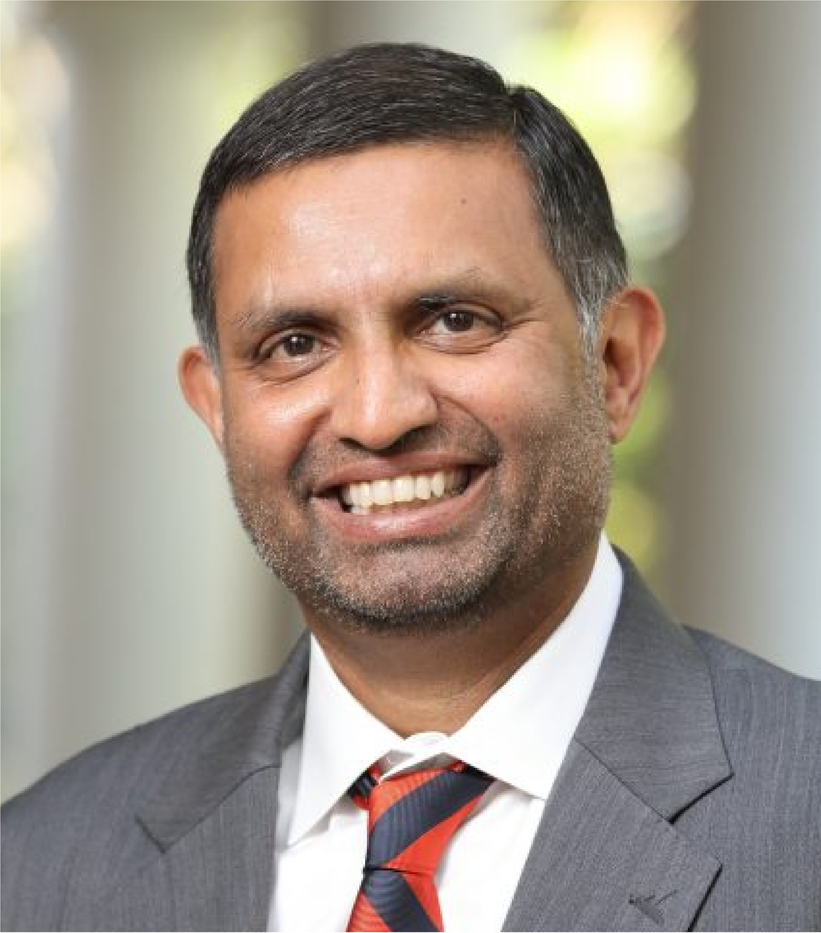
Venkataraman Lakshmi
University of Virginia
A Study of Hydrological Extremes from Space
Land surface hydrology is a collection of complex processes. The spatial variability both the land surface properties (soil and vegetation) as well as the meteorological inputs (precipitation and radiation) play an important role in hydrology. Satellite remote sensing has a broad spatial and repeat temporal view of the land surface and is able to provide observations for use in hydrology such as soil moisture, surface temperature and vegetation density. The variability of the water cycle causes extremes such as droughts and floods and these have an impact on society. In addition, landslides and permafrost thaw are the two other hydrological extremes that impact society. In the past two decades with the advent of improved satellite sensors, modeling and in-situ observations, quantification of the water cycle and its extremes has become possible. These satellite sensors include - microwave observations for soil moisture and precipitation; visible/near infrared for vegetation and evapotranspiration, gravity for groundwater/total water and thermal observations for surface temperature. In this talk I will focus on using models, satellite and in-situ observations for hydrological variability specifically as they relate to hydrological extremes.
